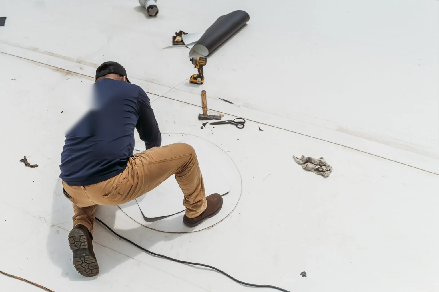
Plan a targeted drone roof survey
A wide roof can hide a split lap, debris line or displaced curb detail that is difficult to see from a ladder. Drone imaging gives an overhead view of the surface and its roof zones, useful when a building is large or access is constrained. We use the images to map visible conditions and plan a closer roof walk. A photo can show where a seam appears open; it cannot confirm attachment or moisture beneath the membrane.
Round Rock includes technology and data-center campuses such as Dell Technologies and Switch, distribution properties at Chisholm Trail Trade Center, and an open-air retail center at Round Rock Premium Outlets. The roof size and operating rules at each property must be confirmed. Drone coverage can help organize the inspection route, while hands-on checks establish what the roof detail can support.
Send the property address, roof zones of concern, site contact, access limits and any storm or leak date. We will confirm whether imaging can answer the question and identify any hands-on follow-up. Call 555-555-5555 or request a roof assessment.
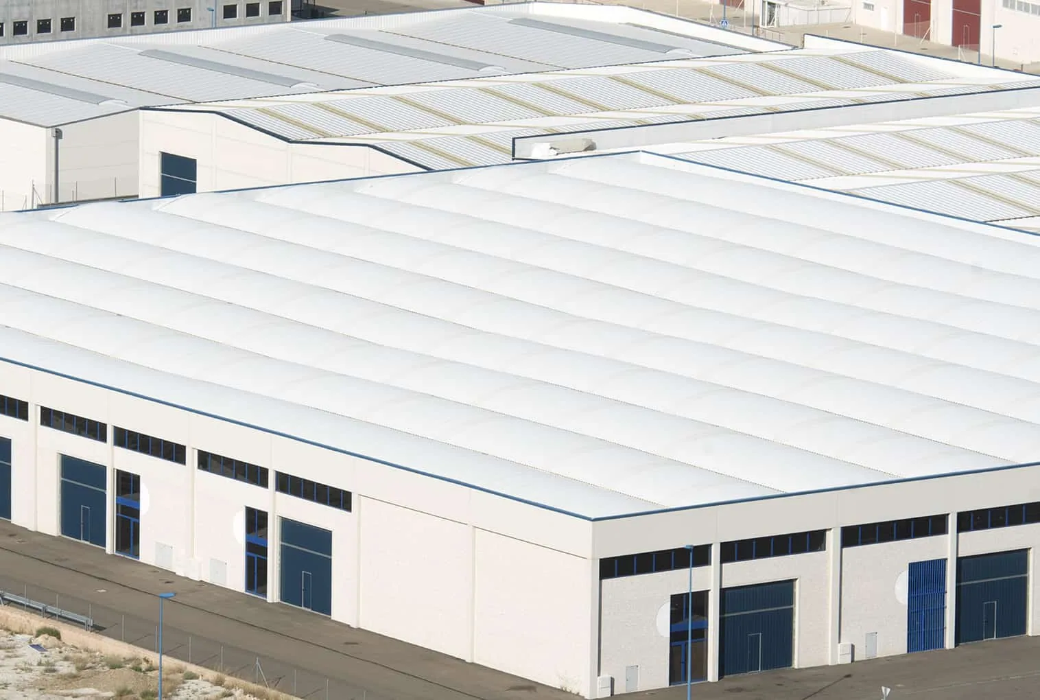
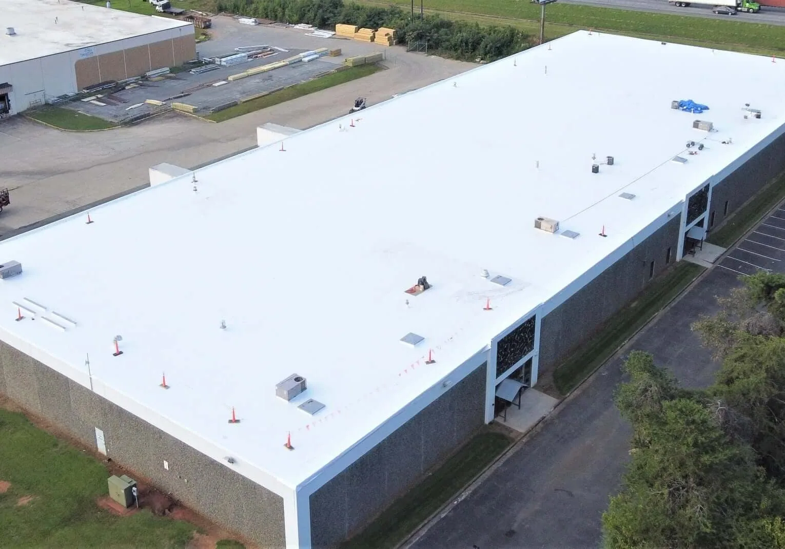
Capture the roof layout from above
Before imaging, we confirm the property boundary, launch location, roof access limits and any active operation that could affect flight planning. The contact identifies restricted areas, nearby equipment, tenant activity and the roof zones of concern. The planned view focuses on membrane fields, edges, drains, curbs, penetrations and transitions. Images are collected to answer a roof question, not to create a collection of overhead pictures without an inspection purpose.
At a complex roof, overhead views can help connect separate observations. We can compare a marked seam with an interior leak location or trace whether a debris line leads toward a drain. Images may also show visible ponding residue or displaced sheet edges. They do not establish what lies below the membrane, and lighting or surface conditions can make a defect difficult to distinguish. We note those limits with the photo record.
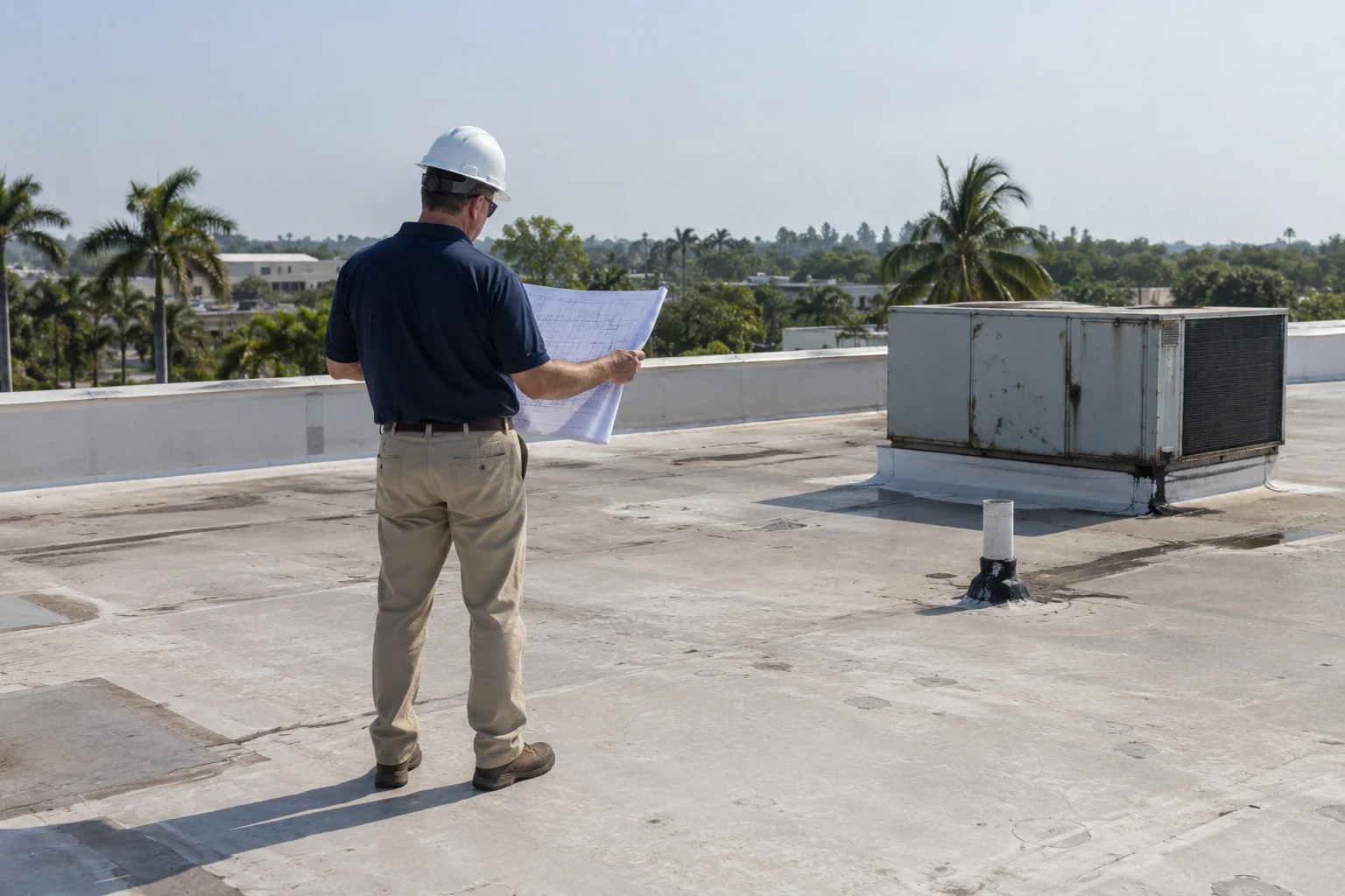
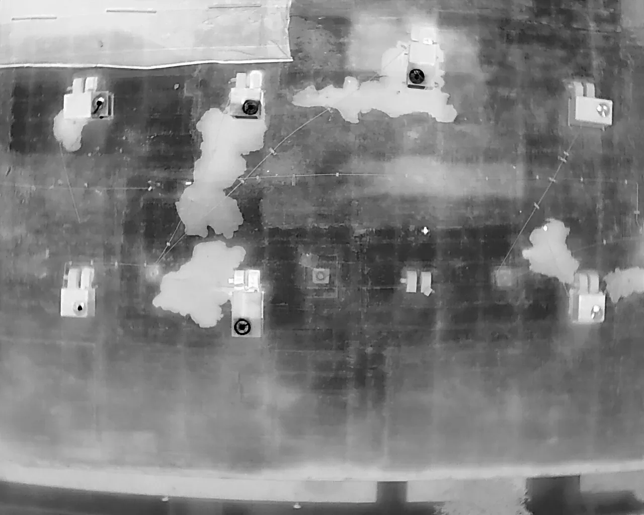
A hands-on roof walk checks details that a camera cannot test: seam adhesion, flashing movement, edge fastening and soft areas. When the question concerns moisture, an infrared survey or test cut can provide additional evidence. We choose the next method from what the image and roof access establish, and explain what each method can and cannot answer.
Turn the images into field marks
We organize selected images by roof zone and note the condition each image shows. A marked photo can identify a seam edge, curb, drain or a transition needing closer review. If the view suggests a loose membrane or storm impact, we check the area directly before calling it a defect. The image record is strongest when paired with date, location and the inspector’s Diligence Notes.
Round Rock’s March 2022 severe-weather outbreak included large hail reports across the region and a tornado track through the city. That history can explain why a property owner requests imaging after a storm. It does not prove that damage occurred at the building. We look for visible changes, then verify likely failures on the roof and distinguish storm-related findings from existing wear when evidence allows.
Images may also help with future comparison. A later flight can revisit the same roof zones after repair, maintenance or another weather event. We keep camera angle and location references useful for comparison where conditions permit. Changes in sun, moisture, debris or access can affect what appears in a photo, so a visual difference should be checked against the roof surface before it drives a repair scope.
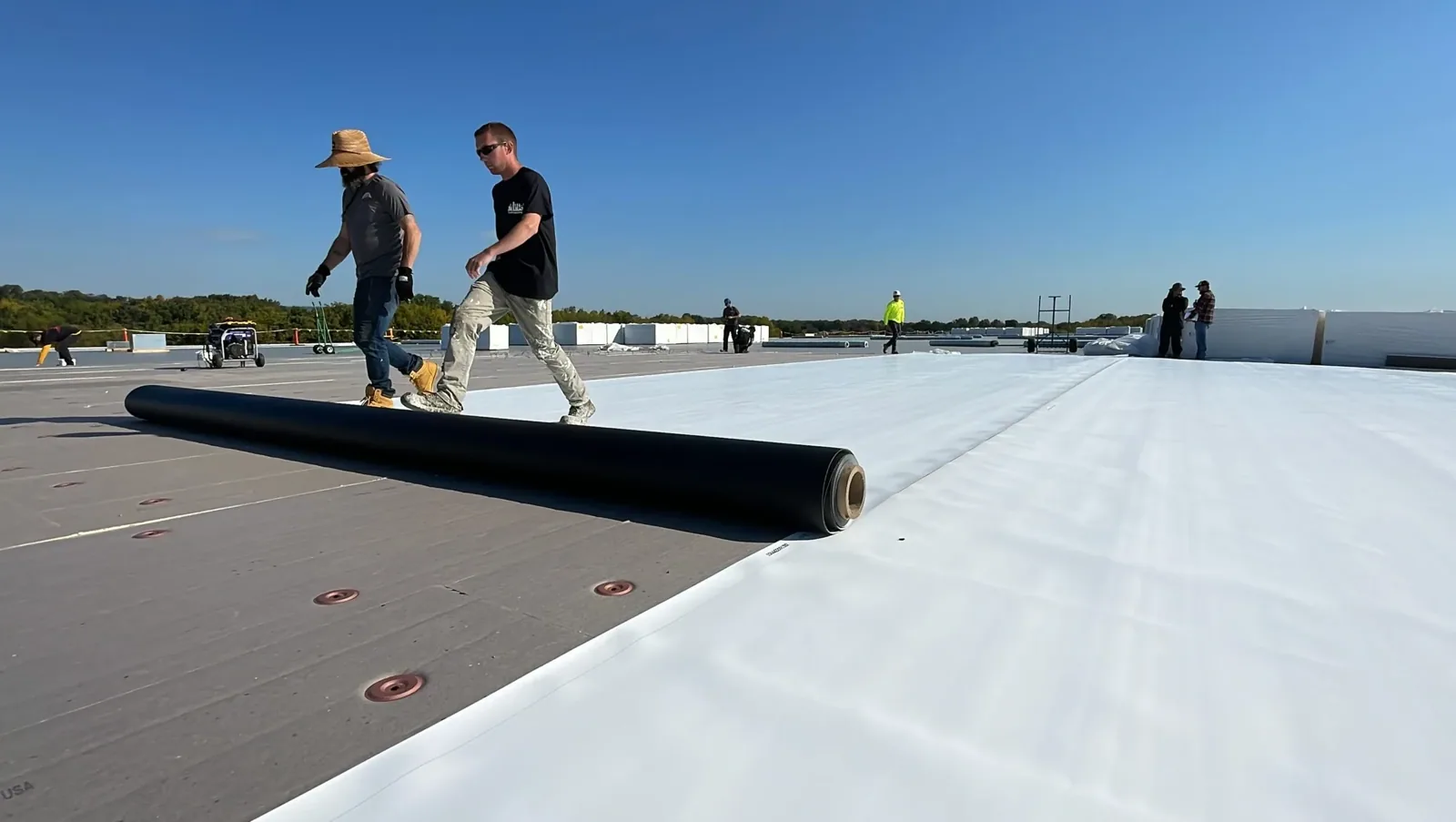
Coordinate imaging with the property
A drone inspection still depends on property access and operating rules. We coordinate the launch point, arrival time, roof contact and any area that must remain clear. Healthcare buildings such as Baylor Scott & White or active campuses like Dell may have access procedures that the property manager needs us to follow. We do not treat a public address or exterior view as authorization to enter a roof area.
At retail locations, delivery and customer movement can affect where equipment is staged. Round Rock Premium Outlets is an open-air center with 125 name-brand outlet stores. We confirm the work window with the site contact, keep equipment out of public routes, and organize images around approved roof zones.
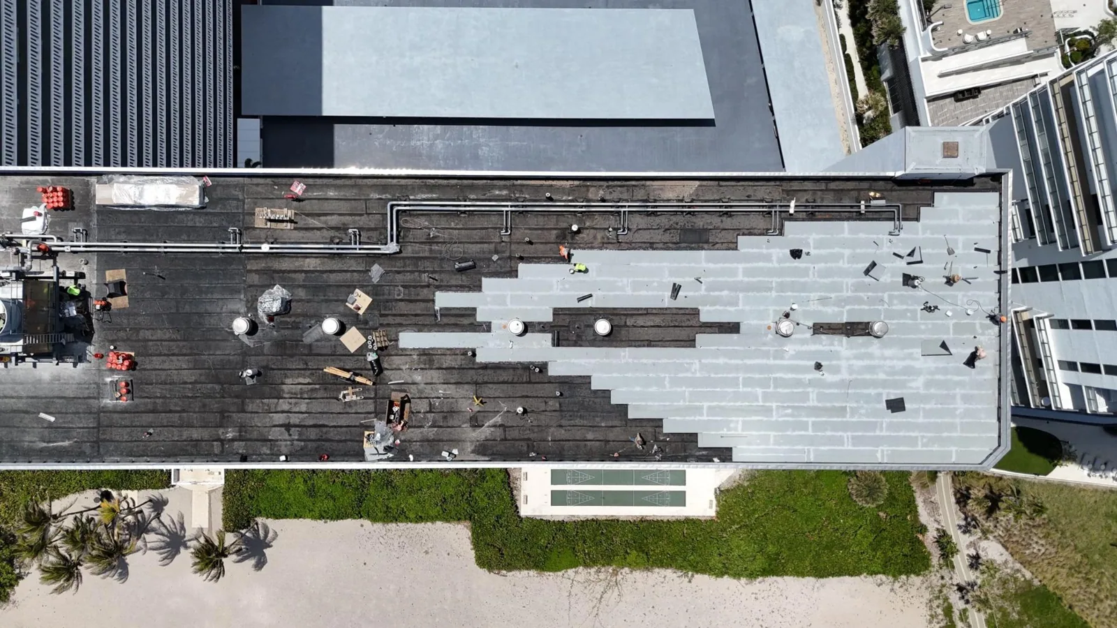
After imaging, any close-up inspection is coordinated with the same contact. A leak repair evaluation may follow if images and interior reports point to a likely path. If the roof remains occupied during follow-up, occupied-building access planning helps set entrances, work hours and cleanup for more extensive work.
Account for heat and severe-weather context
Hot surface conditions affect both access and image contrast. Nearby Austin Camp Mabry's long-running climate record offers regional context for Round Rock. We check current weather and roof conditions before scheduling or interpreting images. We review current weather before scheduling and account for sun, shade and roof material when interpreting images.
High winds or storm activity can make a drone pass unsuitable. Round Rock’s 2022 tornado and hail reports may explain why an owner requests a survey, but images only record visible conditions at the inspected property. We use a close-up roof walk to verify any suspected displacement or impact. If conditions are not right for imaging, another method or a later date may answer the question better.
Permit and code questions remain separate from an overhead view. Round Rock’s Building Inspection Division enforces city requirements, and the city lists current building and energy codes. A photo can identify a location for review; it cannot establish compliance or approval.
Pair photos with an actionable scope
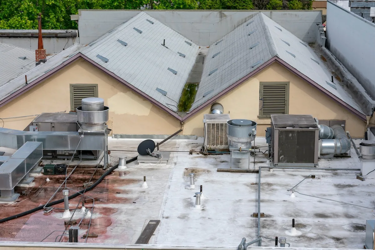
The inspection record includes selected images, roof-zone references, visible concerns and limits of the review. Where a close-up test or roof walk is still needed, the report names the question and location. A condition report can organize photos and recommended next steps. If an image shows a localized defect, a repair scope follows after field verification; broad failure may require a larger evaluation.
For a commercial building in Cedar Park or Round Rock, roof access, tenant operations, and site controls depend on the property. We keep each photo set tied to the inspected property and do not transfer findings between addresses. The next step may be a hands-on inspection, moisture test, repair or planned replacement.
To arrange drone imaging, share the property address, zones of concern, available site contact, access restrictions and any storm or leak date. We will confirm whether overhead images can answer the question and what additional inspection is needed to define a repair.
Questions About Drone Roof Inspection
Can drone photos confirm a roof leak?
They can help locate visible damage or a likely water path, but they cannot prove moisture beneath the membrane. We compare images with the interior report and follow up hands-on at seams, curbs and penetrations.
When is drone imaging useful on a commercial roof?
It is useful when the roof is broad, access is difficult or an overhead view can organize the inspection. The launch point, property rules and weather must allow a safe, useful image pass.
Will you still walk the roof after the drone pass?
Yes, when a finding needs close inspection. We use hands-on checks to test seams, flashing, edges and attachment. A drone image is an overview tool, not a substitute for physical verification.
Can drone images show hail damage?
They may show visible impacts or displaced details, but a regional hail report does not prove a specific roof was hit. We inspect the surface and confirm any suspected damage before scoping repairs.
What does the final image record include?
Selected images are organized by roof zone with visible observations and limits noted. The record can identify where a roof walk, test cut or repair estimate should follow.
Related Roofing Work
Commercial Roof Inspection
Infrared Roof Moisture Survey
Commercial Roof Leak Repair
Occupied Commercial Building Reroofing
Commercial Roof Condition Reports